Sunday, May 21, 2017

Fitzgerald River NP

On our way to and from Wave Rock, we noticed many somewhat older signs of a major flash-flood event in the region. Lots of recently-reworked ditches, repaved roads, etc. Once we got back on the south coast highway, we discovered just how large the flooding event had been.

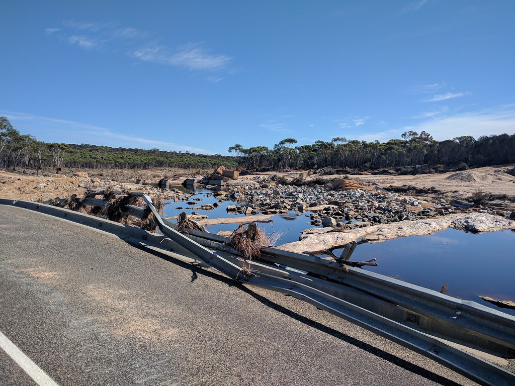
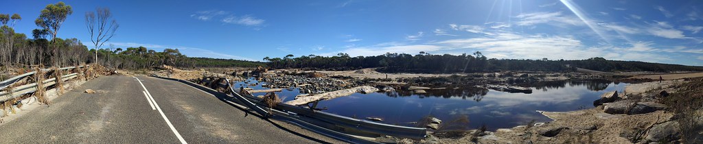
In this photo you can see a river crossing. To the left is the original bridge position, about 350 meters upstream of the new temporary crossing. On the far left, you can just barely see the remains of the old bridge.


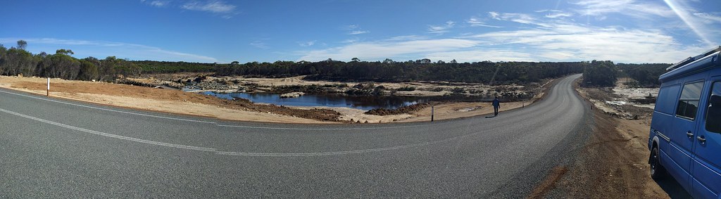
On the new "bank" of the river (bare rock at this point) lies a nearly complete bridge.


DSCN2947

DSCN2950

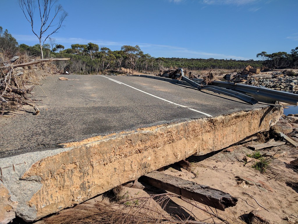
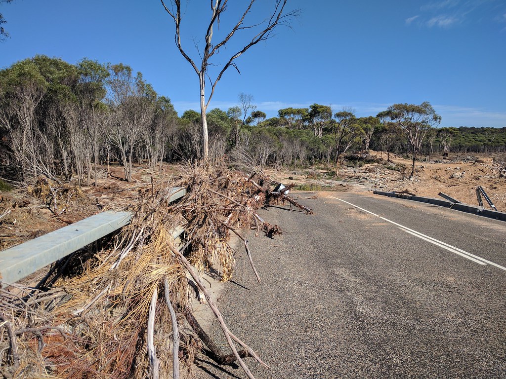
Note the debris built up on the guardrails.


With concrete pilings, a wood bridge was originally built over the river. Later on a 80cm thick concrete bridge was built over top of the wood one. You can see the gouges as the concrete was pulled across the wood.


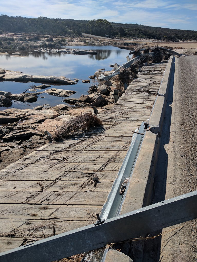
The entire bridge was picked up, and floated over 150m downstream, in one piece! Just amazing.
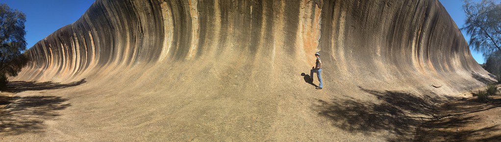
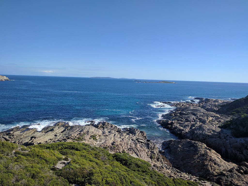
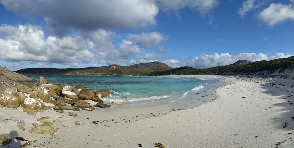
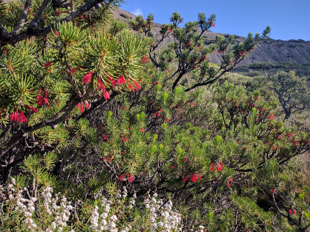
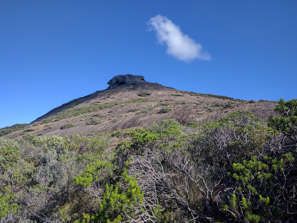
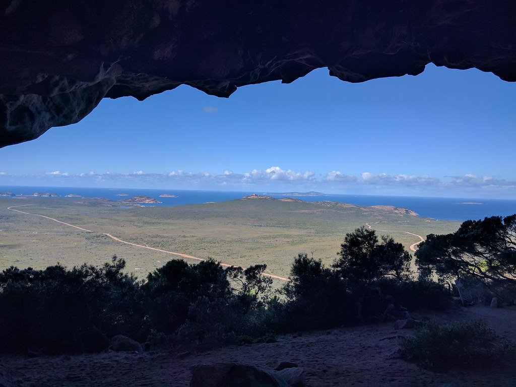
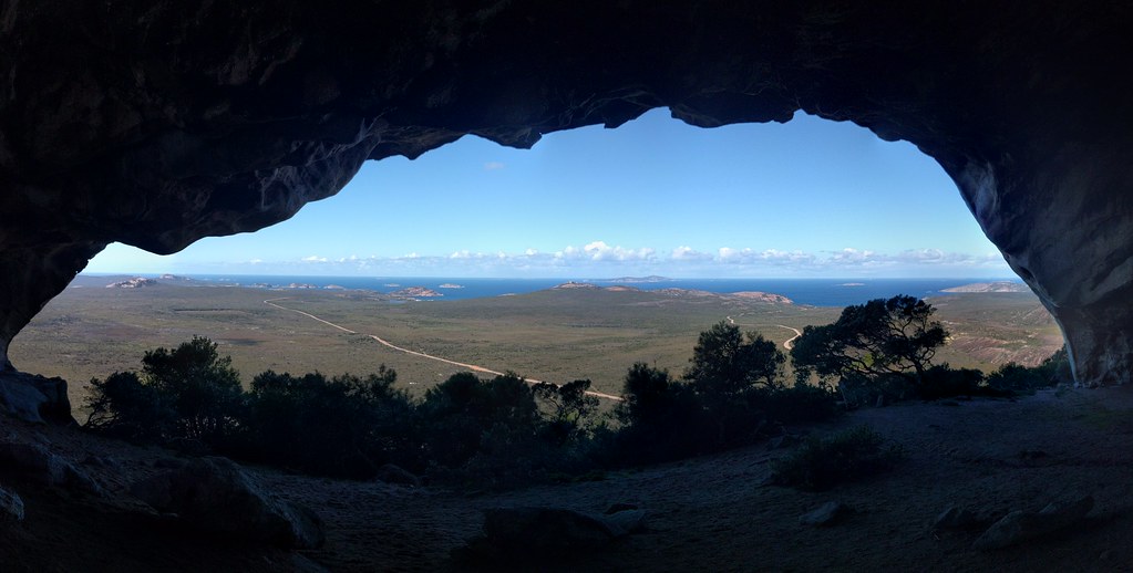
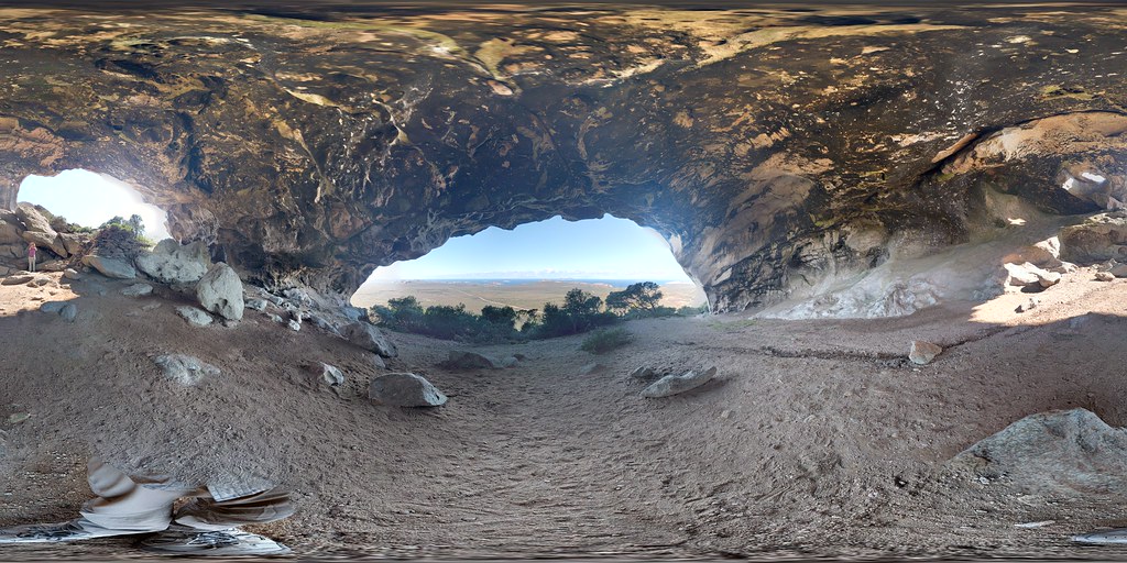
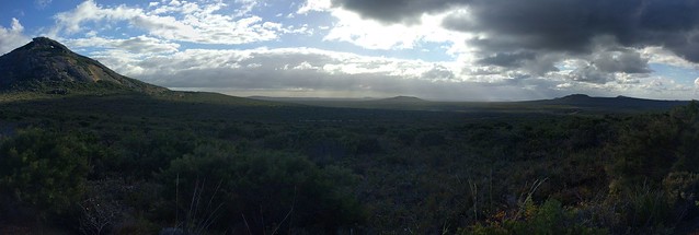
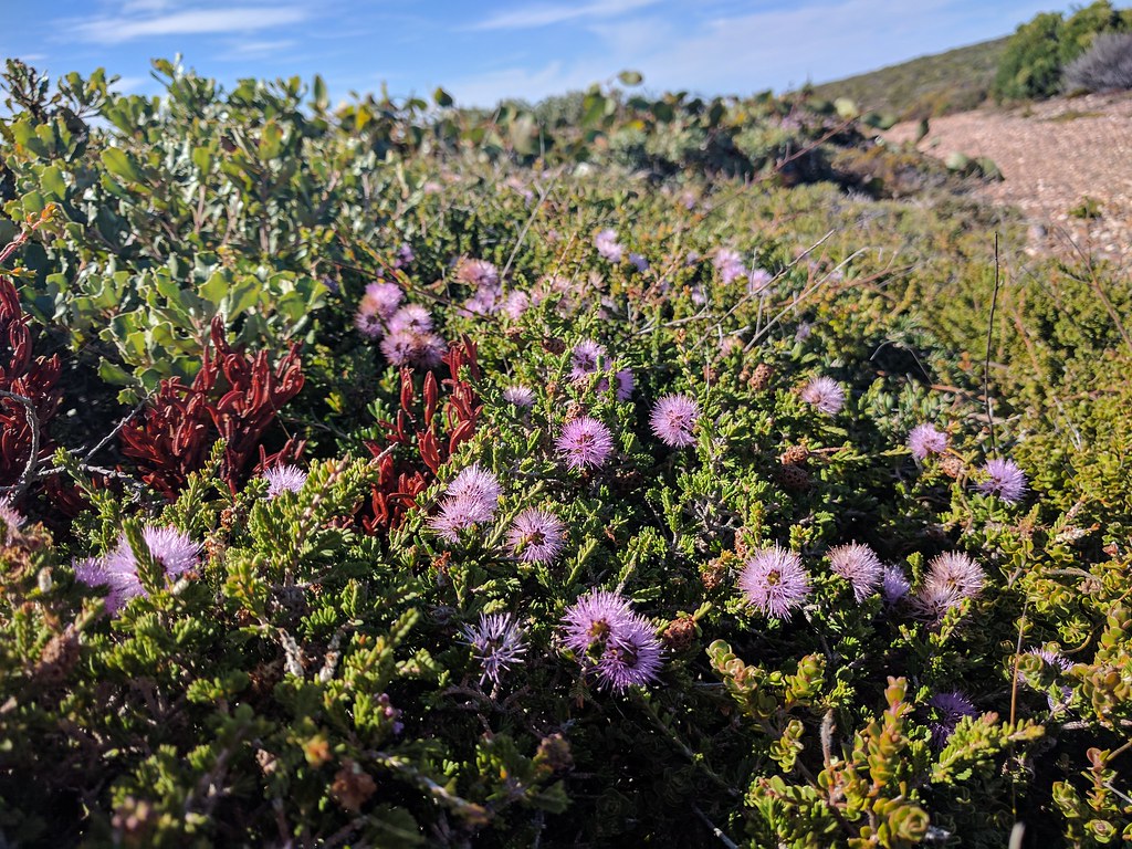
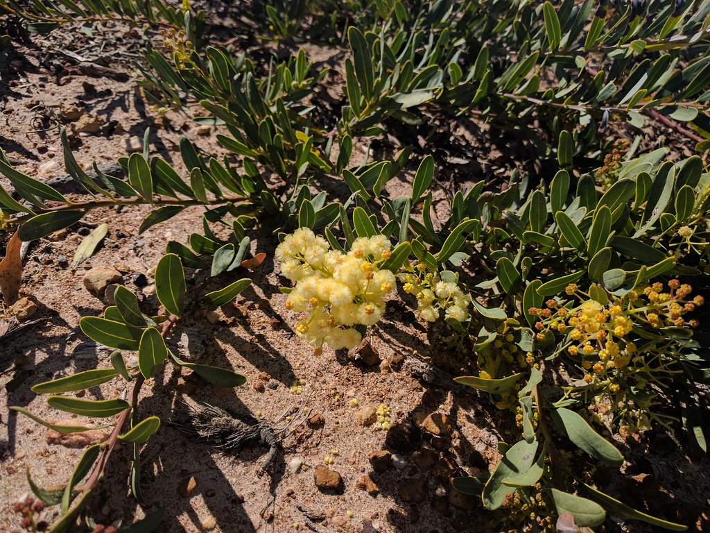
On our westerly drive, we detoured to Fitzgerald River National Park. We hoped we might catch a few early whales, but no luck. The park itself is interesting, very nice facilities at the coast and entry.


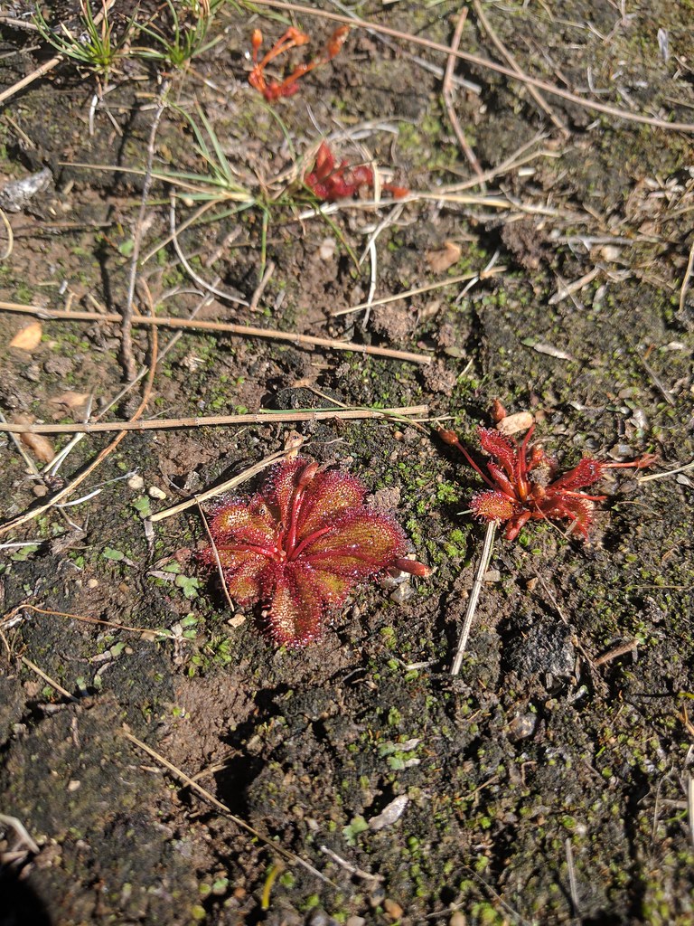
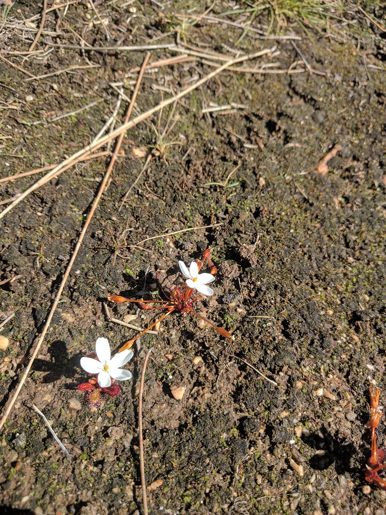
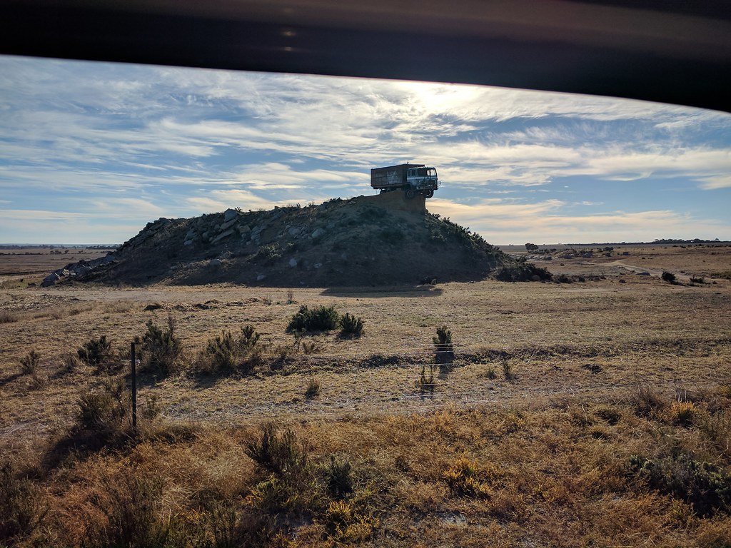
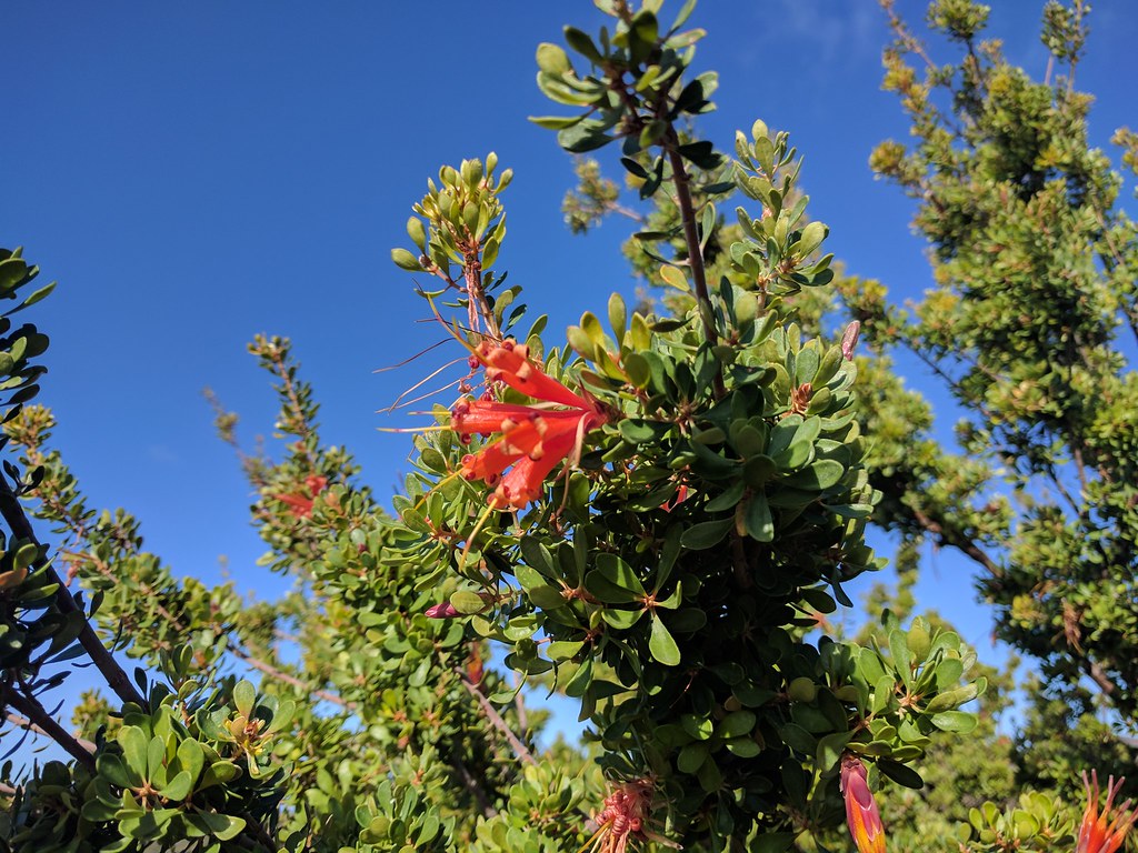
We did a hike around the southern viewing area. Lots of wildflowers and birds. The hike is partially along the Number 2 Rabbit Proof fence.


DSCN2964

DSCN2992
 
Originally built to keep the plague of European rabbits out of West Australia, the Rabbit Proof Fence was the longest contiguous fence line in the world stretching 2,023 miles. Maintained by fence riders, it was a pretty amazing feat for the time. Most of it crosses utter desolation, uninhabited by humans, traversable only by camel.


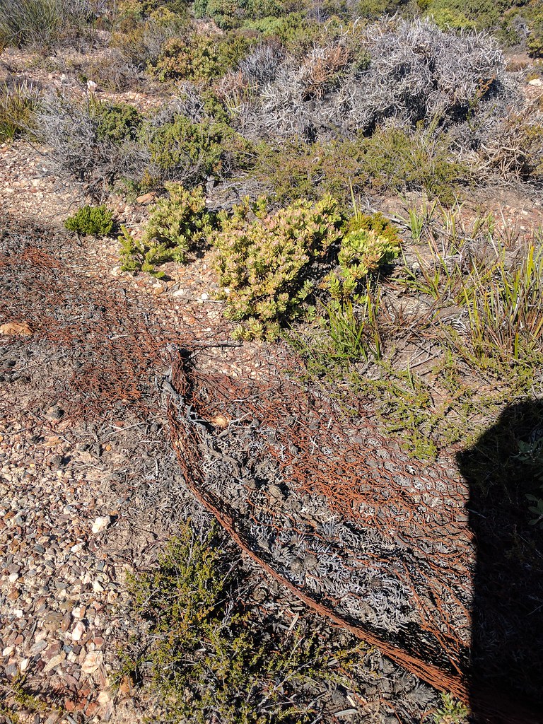
At plague proportions, the rabbit problem was so severe that livestock industries were taking a major hit. The rabbits with no predators (the dingo was mostly eliminated from the south half of Australia) bred out of control, grazing the land into the ground. When the myxomatosis virus was introduced in the 1950s, the rabbit population went from 600 to 100 million in 2 years. The increase in livestock yields was substantial.

DSCN2985

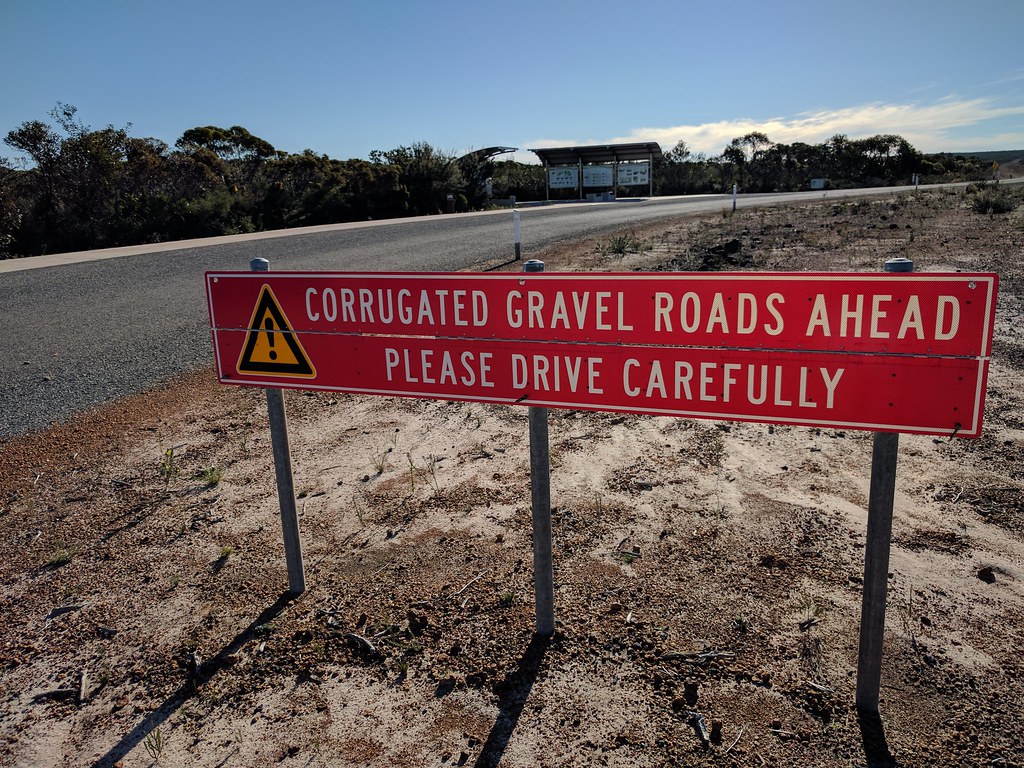
The dirt roads in the park were, hands down, the worst "maintained" roads I have ever driven on. About 70km of constant, complete, and brutal washboard (corrugation).


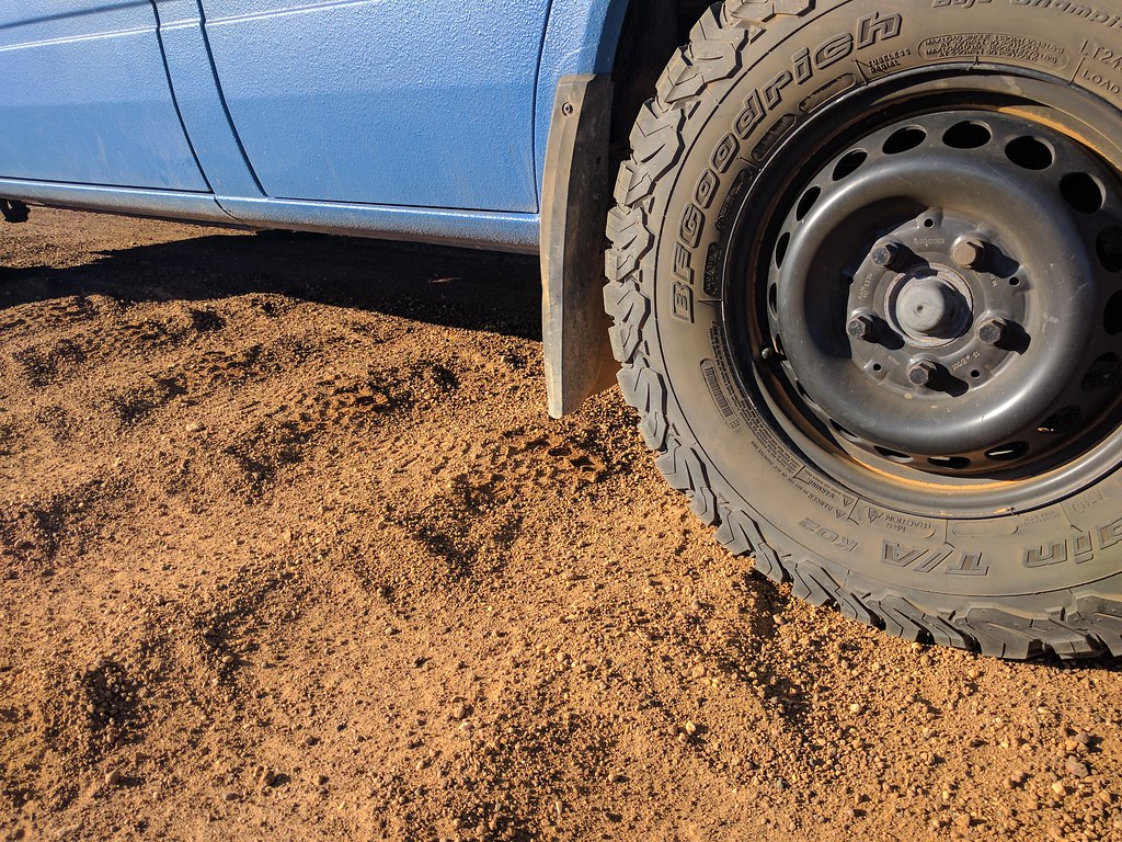
Even with my tires deflated to max, shocks at full damping, and driving to minimize it, my body was going numb after 10 minutes. Upon exiting the park through the main entrance, we found this sign.


Along the way our radio decided to eject itself.

DSCN2967

Thursday, May 18, 2017

Wave Rock

After Cape Le Grand and Esperance, we took a detour inland to the tourist destination of Wave Rock. This is a long drive across WA's wheat belt. Fields of wheat so large that you cannot see the other side.

A prelude to wave rock (and a free parking spot, instead of the 10$ fee) is the yawning hippo.


As we walk in, the wave starts to appear.


Along the way are some interesting plants. Including this little carnivorous flower. Only a few cm across, they are covered with sticky hairs, which are used to capture insects.


Some nearby aboriginal cave painting finished up the day. As a side note, the extent the locals go to in order to capture rain water is intense. Many large rock surfaces are covered with dams and channels to produce a water catchment area.
DSCN2925


We found this guy hiding under an old aboriginal lizard trap (a flat rock with a trigger).  
DSCN2936

On the way out, we stopped to take a photo of precariously perched truck. Because, Australia.

Tuesday, May 16, 2017

Esperance and Cape Le Grand

After leaving gold country, we headed west along the coast to the beach town of Esperance and the nearby Cape Le Grand National park. A lot of places say they have the best beaches in the world, but the ones around Esperance would at least make the first round.


DSCN2763

This is Hellfire Beach in Cape Le Grand.


The water is still a bit cool down here this time of year. The west coast gets a tropical current in the winter, so the water is much warmer. While at Cape LeGrand we climbed up a one of the odd looking "mountains". Many have large caves and overhangs. This on in particular has a spectacular see-through cave/arch.
 
It is wildflower season, and we enjoyed plenty of them on our hikes.


DSCN2879

DSCN2803

DSCN2787

DSCN2891

DSCN2881

Here is the summit from below.
DSCN2774


Here is a photosphere from the top. Great views of the cape.
https://flic.kr/p/UgNFmy

The arch.


A photosphere inside the arch (follow the link to view and pan).
https://flic.kr/p/Uksepi


DSCN2856