We drove up to Lake Hauroko on the edge of the Fiordlands park. Carved by many millennia of glaciation, this lake is the deepest in NZ at over 600 meters.

Because we enjoy punishing ourselves, the next morning we walked up to the Lookout Bluff. So we hauled our butts up the steep, muddy, and rough track.


Here is the bluff. Basically a chunk of mountain that escaped being pulverized by a kilometer-deep glacier.

The view was spectacular. To the left you might just barely be able to see the ocean to the south.


Continuing deeper into the park, we took the Borland road into the Fiordlands. Built in the mid-20th century to facilitate the construction of the power transmission line from the power station at the South Arm of Lake Manapouri. This power station was built exclusively to supply ultra cheap power to an aluminum smelter 200km away. Interestingly, the plan to raise the lake's level by 30m (devastating the forests) as part of the power scheme was the start of a major environmental movement in NZ. Throughout these photos, you may see the ever-present high tension power lines to which we owe this unique access deep into otherwise-untouched wilderness.
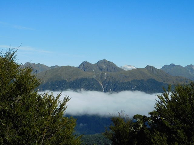


We camped next to a transmission tower with no one for miles and miles. We had originally planned to drive to South Arm camp area, but a huge tree had fallen blocking the already narrow and winding road.


The next morning we drove back up the winding road to Borland saddle. Our goal was to hike up to Mt Burns, and get a view of the largest landslide anywhere in NZ (world record actually).


It wasn’t long until we cleared the tree line, and we walked across the tarn-studded tops.

The small mountain in this photo once towered 300 meters above where we are standing. The lake completely filled this valley.


Hard to imagine, but 27 cubic kilometers of rock fell into the valley, making the lumpy lake-filled bottom we see today.
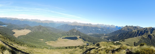


Range after range of mountains and valleys extend for 60km in every direction.

We are headed for the peak in the middle of this photo. Although 13,000 years ago it was 300 meters higher, and part of the mountain on the far left!


The adaptations of the alpine plants here are quite interesting (and prickly).


The landslide just continues on and on. Everything below in this photo was part of the mountain we are standing on.

Having exhausted our supply of snack bars, and found some cell reception, we started back down.


Swinging south and west from Invercargill, we took the scenic detour on our way to the eastern lakes and the fiordlands.
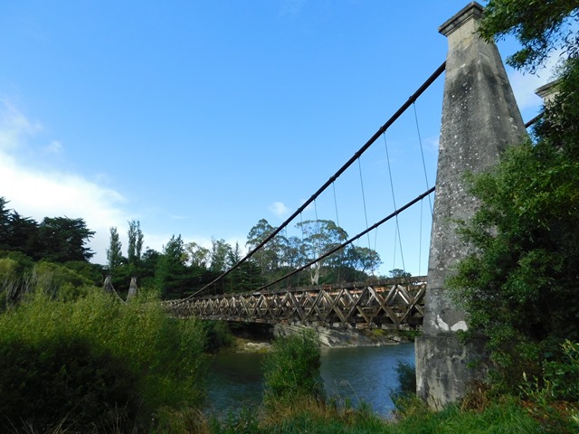
This is one of the longest single-span suspension bridges in NZ at 366ft, and it is over 115 years old! The hand-cut timber deck is a nice touch. The supplies were drug in by wagon and ship, and the digging all done by hand. It wasn’t long before automobiles started using it, and it remained in active service until 1978. It was built for 5007 lb-sterling in 10 months during 1899. 


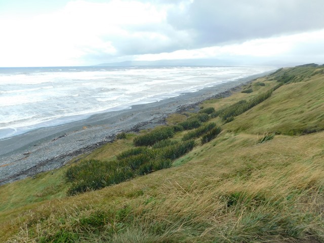
At this point, the gale in my face definitely felt like it was born in Antarctica.
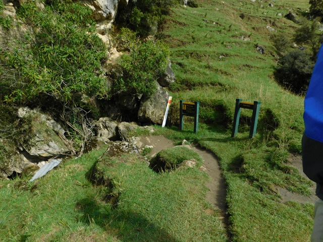
Just off our route was a limestone cave that we could take a 45-minute crawl/walk through. The cave itself was not particularly unique, however it was home to a fair number of glow worms. Native to NZ, these are actually the larvae of several species of fly.

Sure enough, after complete darkness had set in and our eyes adjusted, we could see dozens of light blue “stars” on the ceiling. Our cameras do not photograph super low light very well, but you can just barely see the clusters of glowworms in this photo.

Here is what they look like up close. The larvae secrete strands of sticky mucus which hang from the ceiling. A organ in their tails emits a faint glow, which draws flying insects into the trap. Once stuck in the mucus, they reel them in for a meal. The brighter the light, the hungrier the worm.

